City of Rushville
Recent News About City of Rushville
-

9 Illinois offenders paroled in zip code 62681 in 1st quarter of 2018
Nine offenders released on parole during the first quarter live near Illinois zip code 62681, according to Illinois Department of Corrections data obtained by West Central Reporter.
-

18 offenders paroled in zip code 62681 in December
Eighteen offenders released on parole in December live in Illinois zip code 62681, according to Illinois Department of Corrections data obtained by West Central Reporter.
-

18 offenders paroled in zip code 62681 in November
Eighteen offenders released on parole in November live in Illinois zip code 62681, according to Illinois Department of Corrections data obtained by West Central Reporter.
-

18 offenders paroled in zip code 62681 in October
Eighteen offenders released on parole in October live in Illinois zip code 62681, according to Illinois Department of Corrections data obtained by West Central Reporter.
-

18 offenders paroled in zip code 62681 in September
Eighteen offenders released on parole in September live in Illinois zip code 62681, according to Illinois Department of Corrections data obtained by West Central Reporter.
-

Most frugal cities in West Central Illinois
Village of Littleton, Village of Exeter and Village of Bentley top the list in West Central Illinois with the lowest spending per capita in 2017, Illinois State Comptroller financial reports show.
-

Biggest spenders: What West Central Illinois cities rank highest?
Village of Brussels, City of Roodhouse and City of Bushnell top the list in West Central Illinois with the highest spending per capita in 2017, Illinois State Comptroller financial reports show.
-
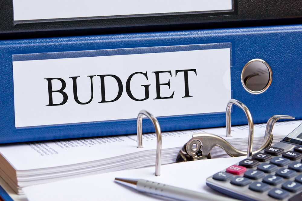
The price of local government in 2017: City of Rushville
The City of Rushville budget was $4.92 million for its 2017 fiscal year, or $3,391 per household.
-

Income tax hike will cost Rushville residents $1,172,244.47 more this year, ranked 1st in Schuyler County
Rushville taxpayers will pay an additional $1,172,244.47 in income taxes this year, according to an analysis by Local Government Information Services (LGIS).